

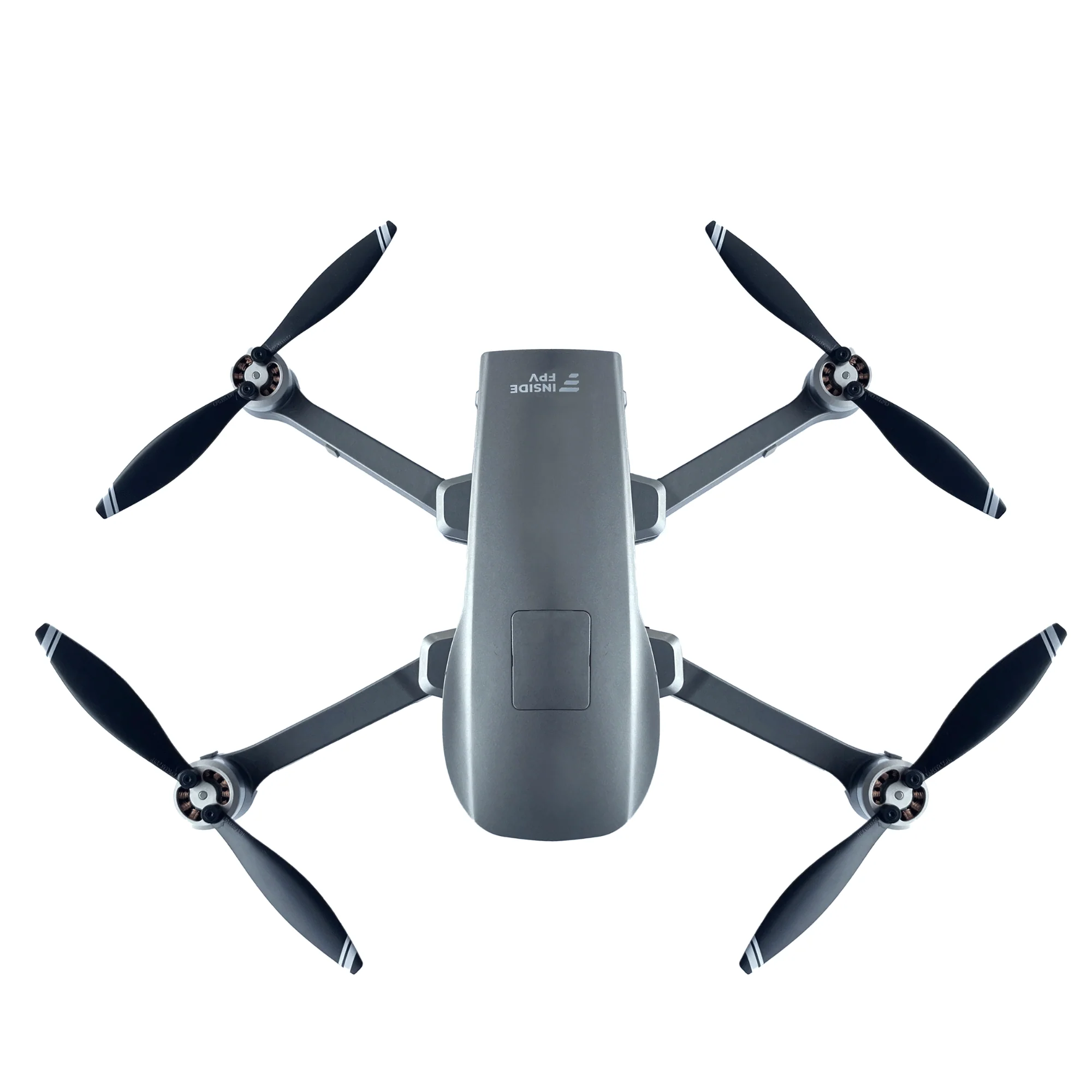
The Elevate V1 may seem like a specialised flying system, but its purpose is straightforward. It gives teams a dependable viewpoint from above when clarity and accuracy are essential. Built in India by insideFPV, this surveillance platform supports professionals who need steady visuals and consistent data during critical missions.
Whether used for disaster response, tactical monitoring, or large asset inspections, the Elevate V1 positions itself as a sturdy and trustworthy companion for field teams.
Aerial Strengths That Shape Real World Performance
Modern field observation is about more than aerial photography. Successful surveillance demands steady coverage, secure communication, and performance that holds up even in difficult conditions. The Elevate V1 has been designed around these expectations, delivering strong endurance, reliable imaging, and autonomy that assists operators rather than complicating their work.
Its value comes from three core qualities: sustained flight, clear visuals, and dependable automated functions.
Primary Advantages at a Glance
- Quick Launch Process: Ready to fly in under forty seconds, making it suitable for time sensitive tasks.
- Long Duration Flights: Crosses sixty minutes of continuous airborne time for uninterrupted field awareness.
- Sony 20 MP Camera: The sensor and three axis stabilised gimbal provide crisp and smooth 4K imagery.
- Wide Operational Reach: Maintains strong control and video links across distances of up to five kilometres.
- Stable Field Performance: Built for dependable operation in varied and demanding environments.
These combined strengths make the Elevate V1 more than a standard surveillance tool. It becomes a consistent aerial partner for defence personnel, emergency responders, industrial engineers, and public safety teams who rely on dependable equipment. It also aligns with the growing interest in fpv drones by offering a controlled and professional grade flying experience.
Engineering That Suits India’s Diverse Conditions
Every part of the Elevate V1 has been shaped to match the demands of field operators across India. From warm plains to humid coastal zones to dusty sites, the drone is designed to offer stability, long service life, and minimal maintenance requirements.
Crafted for Local Terrains
- Robust Frame: Built using light yet rigid components that support smooth operation during long missions.
- Weather Tolerant Build: Performs reliably through heat, moisture, and sudden wind shifts.
- Low Maintenance Layout: Connections and structural parts are selected to reduce wear and limit downtime.
- Secure Signal Links: Redundant channels ensure live visuals remain steady even in congested or remote areas.
This level of resilience is particularly important during fast moving scenarios such as rescue efforts, border patrols, or disaster evaluation where constant visibility can influence decisions within moments.
Advanced Sensors That Enhance Situational Clarity
Good aerial systems must deliver more than stable flight. The Elevate V1 includes a collection of sensors and payload options that provide richer detail and clearer insights to field teams.
- High Resolution Optical View: Captures detailed and vibrant images for inspections and wide area surveys.
- Thermal Vision: Detects heat signatures during night operations or through smoke, dust, and fog.
- Mapping Capabilities: Creates rapid terrain layouts and real time maps for planning and response teams.
- Internal Processing: Handles stabilisation, tracking, and analysis tasks automatically to reduce operator load.
- Protected Data Flow: Uses encrypted links for live feeds and secure pathways for stored footage.
These abilities support a wide range of applications from security operations and rescue missions to industrial inspections. They also position the Elevate V1 among the most capable thermal drones in its category.
Flight Control Systems That Ensure Safe and Steady Missions
Autonomy on the Elevate V1 has been designed with predictable behaviour and mission safety in mind. The drone follows planned routes with accuracy, enabling repeatable passes that are essential for surveillance, research, and planning.
- Optimised Flight Efficiency: The tuning balances agility with battery preservation to maximise usable mission time.
- Automatic Safety Return: The drone returns to its starting point automatically if battery levels fall or if communication weakens.
- Loss Prevention Measures: Minimises the risk of equipment loss during long distance or remote operations.
These systems work together to give operators steady flight, clear visuals, and secure data in situations where performance cannot be compromised. The drone also performs reliably alongside other professional fpv drones while retaining a more controlled flight profile.
Practical Field Applications That Demonstrate Its Value
Emergency and Disaster Relief
During floods, quakes, fires, and other large scale emergencies, teams need fast and accurate situational awareness. The Elevate V1 can map damaged regions, highlight safe routes, and help locate groups needing assistance.
Its long endurance ensures fewer landings, allowing wider coverage when time is critical.
Search and Rescue Operations
When searching for missing individuals, coverage and time are crucial. The combination of thermal sensing and long endurance allows the Elevate V1 to scan difficult terrain, identify heat signatures, and support rescue teams during low light missions.
Live visuals sent to command stations shorten response times dramatically.
Tactical Monitoring and Field Patrols
For defence and security personnel, the Elevate V1 provides consistent aerial observation without placing individuals at risk.
Its high resolution imaging helps with perimeter monitoring, movement detection, and pattern analysis. Repeated passes allow teams to build reliable visual records for planning and situational understanding.
Industrial and Infrastructure Inspection
Power companies, utility operators, and engineering firms can use the Elevate V1 to inspect towers, solar fields, pipelines, turbines, and other large structures without pausing operations.
Its camera and thermal sensors can detect faults, hotspots, and alignment issues faster and more safely than manual inspections. This makes it a capable option for the expanding field of industrial inspection drones.
Final Thoughts
Gathering data from the air is only valuable when it remains secure. The Elevate V1 uses encrypted transmission channels and protected storage to ensure all mission information stays safe from unauthorised access.
Local production also ensures accessible service, faster spare parts availability, and long term operational reliability.
In summary, the Elevate V1 is not a novelty device. It is a well built and dependable platform created for teams who rely on uninterrupted aerial observation. Its long flight time, sharp imaging, versatile sensors, and steady flight systems work together to help teams make informed, timely, and confident decisions from above.
Frequently Asked Questions
How long can the Elevate V1 remain in the air?
It can remain airborne for more than sixty minutes during continuous missions.
Which imaging systems does it use?
It offers a Sony twenty megapixel camera with a three axis gimbal, supported by thermal imaging and mapping tools.
What is its operational range?
The drone provides steady control and video within a practical radius of up to five kilometres depending on terrain.
Are data transmissions secure?
Yes, the system uses encrypted channels and secure internal storage.
Who is the Elevate V1 suited for?
It is ideal for defence teams, law enforcement units, disaster response groups, and industrial operators who require trustworthy aerial monitoring.
james carrinton