


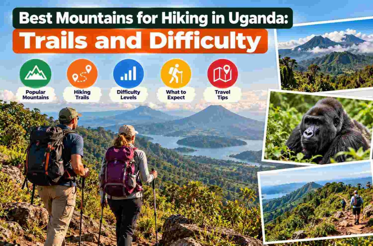
Uganda’s mountain trails range from forest walks to demanding alpine expeditions. The Rwenzori Mountains offer high-altitude trekking, Mount Elgon combines volcanic scenery with varied walking routes, and Mgahinga’s peaks provide steep day climbs. Remote northeastern mountains demand additional transport planning. Travellers considering hiking safaris in Uganda should compare terrain, altitude, time, and fitness. Shorter routes can offer mountain scenery without technical climbing.

Rwenzori Mountains: Forest Trails and Alpine Challenges
The Rwenzori Mountains rise along Uganda’s western border with the Democratic Republic of the Congo. Within Rwenzori Mountains National Park, hikers encounter montane forest, mossy valleys, high moorland and rocky alpine terrain. These vegetation zones distinguish the range from Uganda’s volcanoes.
Shorter Walks and Multi-Day Routes
Lower-slope walks and selected shorter treks suit visitors who want mountain landscapes without committing to a summit expedition. Extended routes, including the Central Circuit and Kilembe approaches, cross wet ground and increasingly exposed terrain. Their practical demands depend on the chosen trail, overnight stops and height gained.
Longer journeys require overnight accommodation, mountain support and time for rest. Even trails without technical climbing can become exhausting in persistent rain or deep mud. Visitors should select a route according to their hiking history rather than treating every itinerary as a standard nature walk.
Margherita Peak for Experienced Mountaineers
Margherita Peak on Mount Stanley represents a substantially harder objective. High altitude, snow and glacial terrain can demand ropes, specialist equipment and competent climbing support. Conditions also affect access. Hikers without technical experience can enjoy lower routes without attempting the summit, which requires considerably more preparation and a multi-day commitment.
Mount Elgon: Volcanic Landscapes and Varied Routes
Mount Elgon stands in eastern Uganda near the Kenyan border. Its broad volcanic slopes contain forest, bamboo vegetation, moorland and an extensive caldera. Compared with the Rwenzori’s glacial summits, its established routes emphasise prolonged uphill walking and volcanic landscapes rather than technical glacier travel.
Wagagai forms the mountain’s highest summit. Routes associated with Sasa, Sipi and Piswa approach the upper mountain from different directions, with different starting elevations and terrain. Check operating trailheads and camps before choosing an itinerary.
Shorter walks near the lower slopes, including the Sipi Falls area, may suit travellers who prefer waterfalls, forest and viewpoints. However, visiting a waterfall is not equivalent to climbing Wagagai. A longer summit trek involves greater endurance, variable weather and appropriate overnight arrangements. Elgon therefore appeals both to recreational walkers choosing lower trails and to fit hikers seeking an extended ascent.
Mgahinga’s Three Virunga Volcanoes
Mgahinga Gorilla National Park protects the Ugandan slopes of three volcanoes in the Virunga range near Rwanda and the Democratic Republic of the Congo. All offer mountain climbing opportunities, but their terrain and demands differ. Park staff can clarify authorised routes and current conditions before a climb.
Mount Sabyinyo: Steep Ridges and Ladders
Sabyinyo has jagged summits, deep ravines and steep sections that may require fixed ladders on the established ascent. Its exposed ridges demand sure footing and confidence with heights, particularly after rain. The summit area lies near three international borders; reaching it does not authorise travellers to cross into neighbouring countries. This option suits fit hikers comfortable with strenuous scrambling-style terrain.
Mount Gahinga: Forest and Bamboo Slopes
Gahinga offers a different experience through bamboo and other mountain vegetation towards a crater landscape. Relative to the sharp ridges of Sabyinyo, its ascent may feel less technically intimidating. Nevertheless, altitude, muddy surfaces and sustained climbing require reasonable fitness. Travellers seeking a mountain day hike without Sabyinyo’s ladder sections may consider this route after confirming trail conditions.
Mount Muhabura: A Demanding Volcanic Ascent
Muhabura, also called Muhavura, rises steeply towards a high summit with a small crater lake. Its considerable elevation gain demands stamina, especially when cloud, wind or rain affects the upper slopes. Hikers who enjoy a sustained climb may prefer it, while those who need gentler gradients should consider shorter walks elsewhere.
Remote Mountain Hiking in Karamoja
Mount Moroto, Mount Kadam and Mount Napak offer different possibilities in northeastern Uganda’s Karamoja region. Their trails can involve steep ground, lengthy approaches and fewer established visitor facilities than major national parks. Local access arrangements and experienced community-based support are particularly important. Travellers should confirm transport, permissions, water availability and suitable overnight plans instead of assuming standard departures operate regularly.
Matching Mountain Routes to Fitness and Time
A mountain’s name alone cannot determine its difficulty. Compare the specific route, expected elevation gain, ground conditions and time commitment.
-
Short scenic walks: Consider lower Mount Elgon trails or selected Rwenzori foothill routes, checking gradients beforehand.
-
Strenuous day climbs: Assess Gahinga, Sabyinyo or Muhabura according to fitness, weather and tolerance for steep ground.
-
Extended trekking: Compare Elgon summit routes with non-technical Rwenzori circuits and their overnight demands.
-
Technical objectives: Reserve Margherita Peak attempts for properly equipped, experienced mountaineers with competent support.
Mountain hikes differ from gorilla trekking and game drives, even when an itinerary combines them.
Weather, Permissions and Responsible Preparation
Rain can turn forest paths slippery, while upper elevations bring cold, wind and rapidly changing visibility. Relatively drier periods may improve walking conditions, but no season guarantees clear summits. Check forecasts and route reports close to departure.
Before setting out, confirm:
-
Park entry, activity permissions and authorised trail arrangements.
-
Suitable local personnel, accommodation and transport to the trailhead.
-
Waterproof layers, sturdy footwear, food, water and navigation arrangements.
-
Additional specialist equipment and emergency plans for difficult climbs.
Altitude-related illness can affect even fit walkers. Follow qualified advice, allow appropriate acclimatisation and avoid pushing through concerning symptoms. Remain on permitted paths, carry out litter and respect wildlife and mountain vegetation.
Conclusion
The Rwenzori Mountains suit hikers seeking varied alpine terrain, while Mount Elgon offers volcanic trekking and shorter lower-slope walks. Mgahinga’s three peaks provide contrasting day climbs, and Karamoja appeals to travellers prepared for more remote logistics. The strongest mountain choice reflects route difficulty, fitness, available time and expected weather, not summit height alone. Confirm access and support arrangements before committing to an ascent.
Ababa Uganda Safaris